
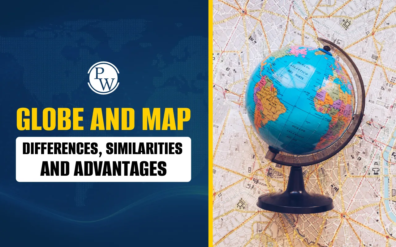
Globe and Map - Differences, Similarities and Advantages

A globe and a map both help us understand the world by showing the locations of countries, oceans, mountains, and cities. A globe is round like a ball, and a map is flat like a sheet of paper. Even though they look different, both are useful in their own way.
In this blog, you will learn how a globe and a map are different, how they are similar, and why both are important. This will help you know the Difference between Globe and Map and when to use a globe and when to use a map while learning about Earth.
A globe is a spherical, three-dimensional representation of the Earth. The globe's round form, axis of rotation, and accurate representation of forms, distances, and directions are among its characteristics. The uses of globe are mainly educational, as it helps students visualize the world realistically. For example, the answer to the question "What is a globe class 5?" is simple: a globe is a small representation of Earth that is used in classrooms to accurately and clearly teach geography.

Read More: Facts About the Earth
What is a Globe?
A globe is a round-shaped model used to show the Earth. Just like the Earth, it is shaped like a ball. On a globe, you can see how the land and oceans are spread across the Earth. You can also see important lines such as the Equator and the Prime Meridian.
A globe marked with latitude and longitude lines helps us accurately locate places on Earth. Latitude lines run horizontally around the globe from east to west, while longitude lines extend vertically from the North Pole to the South Pole.
Together, they form a grid that makes it easier to identify any location on the planet. For example, your teacher may tell you that New Delhi is at 28 degrees North and 77 degrees East. These are its latitude and longitude.
A globe is good for showing the actual shape of the Earth. But it is not easy to carry around. You cannot fold a globe or fit it into your school bag. That is where maps come in. The uses of globe also extend to helping researchers and travelers understand the Earth’s geography.
What is a Map?
A map is a flat drawing of the Earth or a part of it. Maps can show many things. Some maps show the whole world. Some maps only show your country, state, or city. Maps can also show mountains, rivers, roads, and even the way to your school.
There are different types of maps:
A physical map shows natural things like mountains and rivers.
A political map shows borders between countries and states.
A thematic map shows special information, such as where people live or what crops they grow.
You can fold a map and carry it in your pocket. You can also find maps on your phone or computer. But maps are flat. So when we draw a round Earth on a flat sheet, some parts look stretched or changed. This is one difference between a map and a globe. Globes are more accurate, but maps are easier to use.
Difference Between Globe and Map
The globe and map difference lies in their form and purpose. Both are essential, and understanding the globe and map differences helps learners gain a complete view of geography. The table below explains the distinguish between globe and map by comparing their shape, use, and other important features.
|
Difference Between Globe and Map |
||
|
Aspects |
Globe |
Map |
|
Shape |
A globe is round like a ball, just like the Earth itself. You can spin it and see how countries and oceans are placed on its curved surface. |
A map is flat like paper. You can open it on a desk, look at it in a book, or view it on a screen |
|
What They Show |
A globe always shows the whole Earth. It helps you see how big the oceans are and how countries are spread out across the planet. |
A map can show the whole Earth or just one part. For example, there are maps of your country, your state, your city, or even your school. |
|
Shape and Distance |
A globe shows the actual shape and distance between places. Since it is round like Earth, it gives a more correct view. |
A map can sometimes change shapes or distances. This happens because it is difficult to show a round Earth on a flat surface without some changes. |
|
Use in Learning |
A globe is mostly used to study the Earth as a planet. It helps us understand Earth’s rotation, latitude and longitude, and where the continents and oceans are. |
A map is used to find directions, places, and details. It is helpful when you want to go from one place to another or study a smaller area in detail. |
|
Easy to Carry |
A globe is usually big and round, so it is not easy to carry in a school bag. It is kept in classrooms or libraries. |
A map is small and flat, so it can be folded and carried anywhere. Maps are also printed in textbooks or used on mobile phones. |
Read More: Fundamental Rights of India
Similarities of Globe and Map
Even though a globe is shaped like a ball and a map is flat like a paper, they still have many things in common. Let us now look at the similarities of globe and map:
Both show the Earth and its places: Whether you use a globe or a map, you can find the continents, oceans, countries, and islands. Both show where different parts of the Earth are located.
Both can show countries, oceans, mountains, and cities: A globe may have small labels and marks to show places like India, the Atlantic Ocean, the Himalayas, or New Delhi. A map can show the same places, sometimes in more detail. You can use both to learn about the physical and political features of the Earth.
Both help in studying geography: Geography is the subject that teaches us about the Earth. When you learn geography in school, your teacher might use a map to explain the location of rivers, and a globe to explain how the Earth spins. So both are important tools in geography.
Both use symbols, lines, and colors: Maps and globes use special signs or symbols to show things like roads, mountains, rivers, or buildings. They also use lines, like the Equator or country borders. Colors are used to tell land from water and to mark different countries or areas.
Both can have latitude and longitude: Both maps and globes can show latitude and longitude. These lines help us find the exact location of a place. For example, you can use latitude and longitude to find where a city like Chennai or London is located on Earth.
These map and globe similarities show that both are very helpful for students. If you want to learn about the world, understand countries, or find your place on Earth, you can use either a map or a globe. Many times, we even use both together in class to understand better.
Read More: Types of natural disaster
What are the advantages of maps over globes?
Maps have many advantages that make them useful in everyday life. One of the biggest advantages is that maps can show small areas in great detail. If you want to find a city, a road, or even your school, a map is the best tool to use. Maps are also easy to carry because they are flat. You can fold them, put them in a book, or view them on a phone or computer.
Another important advantage of maps is that there are many types. For example, political maps show countries and cities, physical maps show mountains and rivers, road maps show travel routes, and weather maps show things like rainfall or temperature. Because maps come in different types, they are useful for travel, learning, and planning. That is why people use maps so often.
What are the advantages of Globes over Maps?
Globes are also very helpful, especially when we want to understand the whole Earth. A globe is shaped like a ball, just like the Earth. This helps us see the correct shape and position of continents, oceans, and countries. On a globe, the sizes and distances between places are more accurate than on a flat map.
Globes also help us understand how the Earth moves. When we spin a globe, we learn how the Earth rotates, which explains day and night. Globes also show important lines like the Equator and the Prime Meridian, which help us learn about latitude, longitude, and time zones. A globe gives us a full picture of the Earth, making it a very useful tool in geography. While both globes and maps depict the world, maps allow you to zoom in on specific regions, making them extremely useful for planning and navigation.
Important Facts About Maps and Globes
Globes and maps can help us understand continents, oceans, directions, and nations, but their structures, characteristics, and applications differ. Here are a few important facts that will help you learn more about both Maps and Globes:
-
Maps were first made more than 4000 years ago in ancient Babylon
-
Anaximander from Greece made one of the earliest world maps around 600 BCE
-
Ptolemy, another Greek geographer, added latitude and longitude to maps
-
Maps can change the shape or size of places because the Earth is round
-
Today’s maps are made using satellites and computers for better accuracy
-
The first known globe was made in 1492 by Martin Behaim and is called Erdapfel
-
A globe turns on its axis and helps us understand day, night, and seasons
-
Most globes are made from plastic, cardboard, or paper, and some are made of glass
-
Some modern globes are interactive and can give information through touch or sound
-
A globe shows Earth’s land and water without changing shapes or sizes
-
Globes help explain important ideas like time zones, day and night, and how the Earth spins.
-
People have been using globes for over 500 years to understand our planet.
Also read: Essay on Unemployment
Boost Your Child’s Learning with CuriousJr Online Tuition Classes
Give your child the support they need to grow in school with our CuriousJr online tution classes. These classes are made for students from Classes 3 to 9 and cover important subjects like English, Maths, Science, and Social Studies. The lessons are planned as per CBSE, ICSE, and State Board syllabi to match what your child learns at school.
The course runs for six days and includes live and interactive classes with animations and fun activities. With our two-teacher model, one teacher focuses on teaching while the other mentor helps with doubts and learning support. Students also get practice worksheets and help with their homework to make learning easier and better.
Many families use CuriousJr to help their children become more confident and do better in studies. If you want to see how it works, book a demo class today.


Globe and Map FAQs
What is a globe?
What is a map?
Can we use both a map and a globe together?
Who made the first globe?
What do latitude and longitude help us with?


Get Free Counselling Today
and Clear up all your Doubts